
LW Brands, LLC
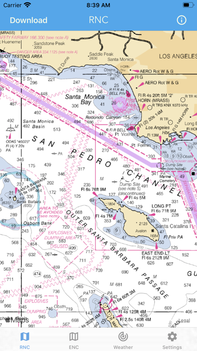
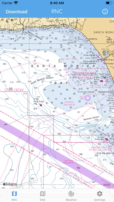
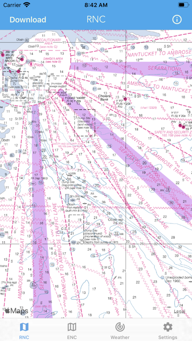
Nautical Charts & Maps
Nautical Charts & Maps ist eine App von LW Brands, LLC. Veröffentlicht 7 years ago. 1.7 Version.
Teilen
Diese App weiterempfehlen
Main Features Include:
+ NOAA Electronic Navigational Charts (ENC)
+ NOAA Weather Map Overlays
-- ELECTRONIC NAVIGATION CHARTS --
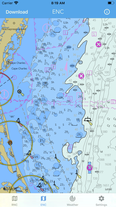
Electronic Navigational Charts (ENC) are vector data sets that support all types of marine navigation.
+ All charts are available to download for offline use
+ Chart format options include: NOAA, ECDIS
ENC charts display the following information:
+ Buoys, Beacons, Lights, Fog Signals, Radar
+ Natural and Man-Made Features
+ Services and Small Craft Facilities
+ Seabed, Obstructions, Pipelines
+ Depths, Currents
+ Port Features
+ Traffic Routes
+ Special areas
NOAA updates the ENCs for Notice to Mariners on a weekly basis. Timing of their availability is not guaranteed.
The ENC charts displayed in this app does NOT meet federal chart carriage regulations for regulated vessels.
Users should consult the Code of Federal Regulations for current federal chart carriage requirements.
-- NOAA WEATHER MAP OVERLAYS --
+ Weather Radar
+ Sea Surface Temperature
+ Significant Wave Height
+ Wind Speed & Direction
+ 12-Hour Rain Probability
+ Lightning Strike Density
+ Air Temperature
If you have any questions, please email [email protected]
+ NOAA Electronic Navigational Charts (ENC)
+ NOAA Weather Map Overlays
-- ELECTRONIC NAVIGATION CHARTS --
Electronic Navigational Charts (ENC) are vector data sets that support all types of marine navigation.
+ All charts are available to download for offline use
+ Chart format options include: NOAA, ECDIS
ENC charts display the following information:
+ Buoys, Beacons, Lights, Fog Signals, Radar
+ Natural and Man-Made Features
+ Services and Small Craft Facilities
+ Seabed, Obstructions, Pipelines
+ Depths, Currents
+ Port Features
+ Traffic Routes
+ Special areas
NOAA updates the ENCs for Notice to Mariners on a weekly basis. Timing of their availability is not guaranteed.
The ENC charts displayed in this app does NOT meet federal chart carriage regulations for regulated vessels.
Users should consult the Code of Federal Regulations for current federal chart carriage requirements.
-- NOAA WEATHER MAP OVERLAYS --
+ Weather Radar
+ Sea Surface Temperature
+ Significant Wave Height
+ Wind Speed & Direction
+ 12-Hour Rain Probability
+ Lightning Strike Density
+ Air Temperature
If you have any questions, please email [email protected]
Smart erkannt
App-Funktionen
Automatisch aus Beschreibung, Titel und Kategorie erkannt.
🗺️
Interaktive Karten
📦
Offline-Modus
📊
Statistiken & Analysen
🌤️
Wetter & Vorhersage