TrailBehind
Offline Topo Maps
Offline Topo Maps ist eine App von TrailBehind. Veröffentlicht 16 years ago. 6.4.2 Version.
Teilen
Diese App weiterempfehlen
►► WARNING - DOWNLOAD THE NEW APP INSTEAD
Instead of buying this app, please download the new Gaia GPS app. You can find it by searching for "Gaia GPS" - then scroll down and download the app with the gold border.
Were maintaining Offline Topo Maps for existing users, but our work is focused on the new app.
* * *
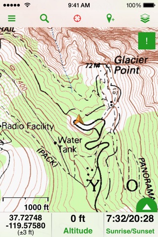
Offline Topo Maps (OTM) is a simpler version of our full-featured backcountry app, Gaia GPS.
OTM is the best simple topo app on the App Store, with the best maps, and the best support. Get in touch with the six+ hikers that develop OTM at [email protected]
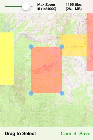
* download maps of the entire world
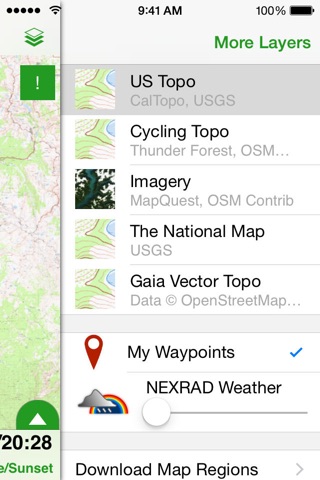
- USGS topo maps and aerial imagery
- OpenStreetMap-based topo and road maps of the world
- USGS topos for Alaska and NRCan topos for Canada
- highest resolution USGS topos on the App Store
* fast, functional, stable, and easy-to-use for even novice hikers
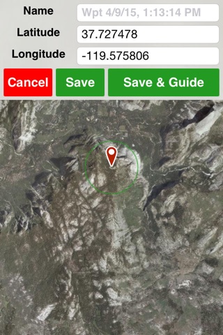
* mark waypoints and get guidance to and from places
* use metric, imperial, or nautical units
* display coordinates in Decimal, UTM, MGRS, DMS, or Decimal Minutes
* fully auto-rotatable for widescreen maps and other views
Warning: Continued use of GPS running in the background can dramatically decrease battery life.
Instead of buying this app, please download the new Gaia GPS app. You can find it by searching for "Gaia GPS" - then scroll down and download the app with the gold border.
Were maintaining Offline Topo Maps for existing users, but our work is focused on the new app.
* * *
Offline Topo Maps (OTM) is a simpler version of our full-featured backcountry app, Gaia GPS.
OTM is the best simple topo app on the App Store, with the best maps, and the best support. Get in touch with the six+ hikers that develop OTM at [email protected]
* download maps of the entire world
- USGS topo maps and aerial imagery
- OpenStreetMap-based topo and road maps of the world
- USGS topos for Alaska and NRCan topos for Canada
- highest resolution USGS topos on the App Store
* fast, functional, stable, and easy-to-use for even novice hikers
* mark waypoints and get guidance to and from places
* use metric, imperial, or nautical units
* display coordinates in Decimal, UTM, MGRS, DMS, or Decimal Minutes
* fully auto-rotatable for widescreen maps and other views
Warning: Continued use of GPS running in the background can dramatically decrease battery life.
Smart erkannt
App-Funktionen
Automatisch aus Beschreibung, Titel und Kategorie erkannt.
🗺️
Interaktive Karten
📸
Echte Fotos & Bilder
🛒
E-Commerce & Shop
🔍
Volltextsuche
📦
Offline-Modus
📊
Tabellen & Spreadsheets