corey hoggard
Wildfire & Earthquake Tracker
Wildfire & Earthquake Tracker ist eine App von corey hoggard. Veröffentlicht 10 years ago. 2.4 Version.
Teilen
Diese App weiterempfehlen
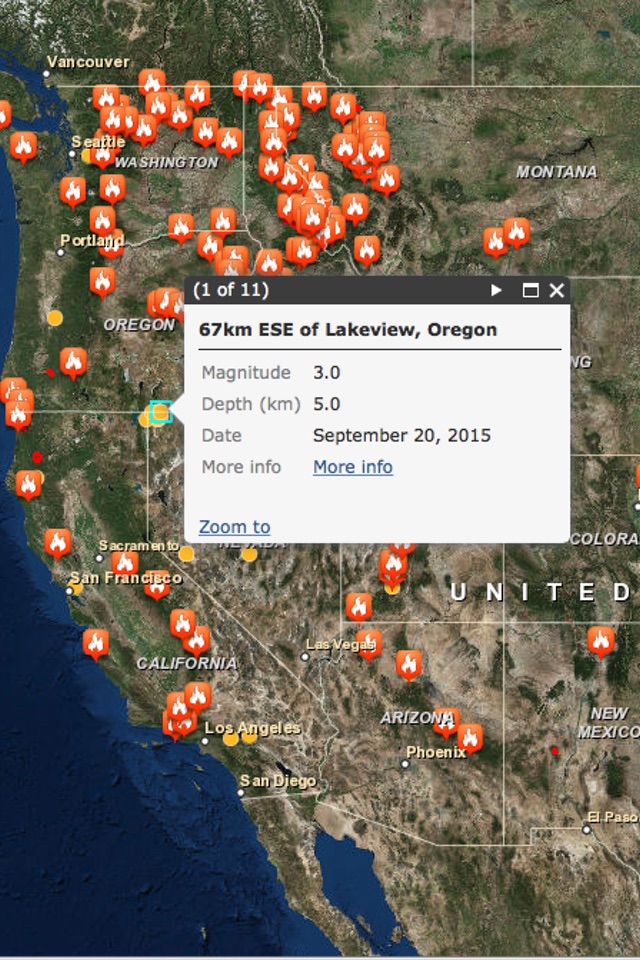
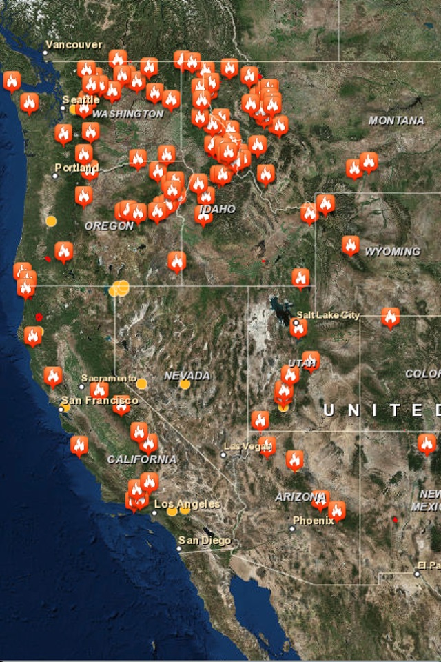
The Wildfire and Earthquake Tracker is an interactive mapping application that tracks US wildfires and Global earthquakes. The data feed comes from the USGS and and US Forestry Service. This map provides you with up to the minute data and access to global wildfire's as well as reported earthquakes.
-Wildfire Information and Location
-Earthquake Information and Location
-GPS integration
-Interactive Map
-Map Tables with data analysis
-Wildfire Information and Location
-Earthquake Information and Location
-GPS integration
-Interactive Map
-Map Tables with data analysis
Smart erkannt
App-Funktionen
Automatisch aus Beschreibung, Titel und Kategorie erkannt.
🗺️
Interaktive Karten
📊
Statistiken & Analysen
📊
Tabellen & Spreadsheets